


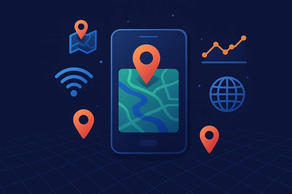
A map that loads stale data is a map that lies to you. Maybe not maliciously, but functionally, because if the position of a delivery truck on your screen is 12 seconds behind where that truck actually sits on a highway, the information you are acting on is wrong. Twelve seconds is enough for a vehicle to travel over 300 meters at highway speed. Decisions made on that gap compound quickly across thousands of assets, dozens of operators, and millions of end users expecting interfaces to keep pace with reality. The problem has never been about getting geospatial data. Satellites, sensors, drones, and IoT devices produce enormous volumes of it. The problem has been getting that data from the point of capture to the point of rendering fast enough that a human being can still do something useful with it. That pipeline, the chain of ingest, process, query, and render, determines what a geospatial application can actually promise to the people who rely on it.
The Distance Between Observation and Action
Contents
Satellite systems have historically operated on batch schedules. A sensor captures an image, the image gets processed at a ground station, and hours or days later a file becomes available for download. NASA’s LANCE system compressed that window considerably, making Earth observation data available within 3 hours of a satellite pass. Imagery reaches platforms like Worldview and GIBS within 3 to 5 hours after observation. For use cases like wildfire tracking and flood response, that pace works. For a logistics dashboard refreshing asset positions every few seconds, it does not.
The gap between those 2 timescales is where streaming architectures operate. Rather than waiting for a batch file to arrive, a streaming system ingests data as it is produced, processes it in transit, and pushes updates to connected clients. The result is an interface that behaves more like a live video feed than a periodically refreshed spreadsheet. Estimates suggest that by 2025, 30% of all data consumed globally results from real-time information exchange. Geospatial feeds make up a growing portion of that.
How Latency Budgets Determine What a Map Can Actually Do
A pipeline built on Apache Kafka cut geospatial query latency from 12 seconds to under 200 milliseconds in one documented case. That gap matters because industry benchmarks place the threshold for interactive dashboards and alerts between 5 and 100 milliseconds end-to-end. When a routing tool, fleet tracker, or the best online mapping software serving a logistics operation needs to render live positions on a tile layer, every millisecond spent in transit is a millisecond the interface falls behind the physical world.
OGC API Connected Systems v1.0, published in 2025, addresses part of this by funneling sensor, drone, and satellite streams through RESTful APIs into a common 4D framework. NASA’s LANCE system already delivers Earth observation data within three hours of capture. Pairing standardized ingestion with low-latency transport gives front-end applications a reliable time budget they can design around rather than guess at.
Standards That Let Sensors Talk to Software
Geospatial feeds come from a wide spread of hardware. A single fleet management platform might pull from GPS transponders on trucks, weather stations along a route, traffic sensors embedded in roadways, and satellite imagery covering the same corridor. Each of those sources speaks a different protocol, sends data at a different rate, and structures its payloads differently.
OGC API Connected Systems v1.0 was written to address exactly this fragmentation. Published in 2025, it provides a RESTful interface that brings sensors, drones, and satellite data into a shared 4D framework for discovery, access, and visualization. Applications that adopt the standard can treat a drone feed and a ground sensor as peers in the same data model.
The proposed OGC SensorThings API Version 2.0 pushes further into IoT territory. It provides a geospatial-aware framework for observational data, meaning applications can query sensor readings with spatial and temporal filters attached. A dashboard asking “show me all temperature readings within 5 kilometers of this point in the last 10 minutes” becomes a single API call instead of a custom integration against each sensor vendor.
What the User Sees When the Pipeline Works
The end user rarely cares about the pipeline itself. They care about the behavior of the interface. Does the map update smoothly when a vehicle turns a corner? Does an alert fire before the truck enters a restricted zone, or after? Does the heatmap of delivery density refresh while the dispatcher is still looking at it, or does it lag behind by a full polling cycle?
These questions get answered in the latency budget. At under 5 milliseconds end-to-end, which industry benchmarks classify as ultra-low latency, the interface can support real-time collision avoidance and automated routing decisions. Between 5 and 100 milliseconds, interactive dashboards and alert systems perform well. Above 100 milliseconds, you start losing the ability to respond to conditions as they occur, and the interface begins to feel like a reporting tool rather than a control surface.
Where Feeds Break Down
Latency is only half the concern. The other half is reliability. A geospatial feed that delivers 95% of its updates within 80 milliseconds but drops 5% entirely creates a different kind of problem. Missing data points on a moving asset cause position interpolation errors, which make the rendered position on the map disagree with reality in ways the user cannot predict.
Buffering strategies and retry logic in the transport layer help, but they add latency. Every retry adds milliseconds. Every buffer adds memory pressure. Architects building these pipelines make constant tradeoffs between completeness and speed, and the right balance depends entirely on what the end user needs the map to do.
Responsive Means Accountable
When a geospatial application promises live data, it takes on a commitment to accuracy at speed. The standards from OGC provide common protocols. Streaming tools like Apache Kafka provide the transport. Satellite operators like NASA provide faster access to observations. But the work of assembling these pieces into a pipeline that respects its own latency budget, and tells the user honestly when it cannot, falls on the teams building the application. A responsive interface is one that stays honest about where its data came from and how old it is when it arrived.